
Springside topographic map
Click on the map to display elevation.
About this map
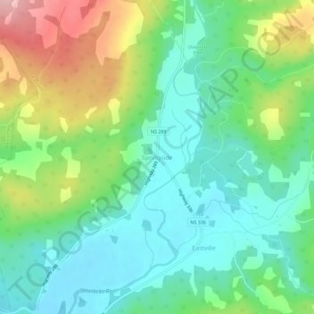
Name: Springside topographic map, elevation, terrain.
Average elevation: 93 m
Minimum elevation: 36 m
Maximum elevation: 213 m
Municipality of Colchester trails, hiking, mountain biking, running and outdoor activities
Other topographic maps
Click on a map to view its topography, its elevation and its terrain.
Central North River
Canada > Nova Scotia > Municipality of Colchester > Central North River
Average elevation: 111 m
East Mountain
Canada > Nova Scotia > Municipality of Colchester > East Mountain
Average elevation: 120 m