Geolocate

Molina topographic map

Click on the map to display elevation.

About this map

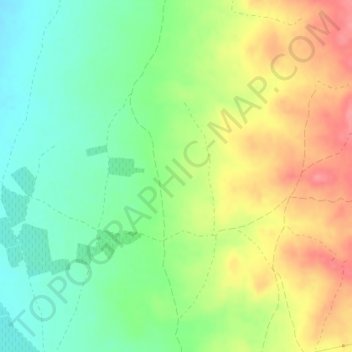
Name: Molina topographic map, elevation, terrain.

Location: Molina, Alfamén, Campo de Cariñena, Zaragoza, Aragon, Spain (41.48281 -1.24179 41.50281 -1.22179)

Average elevation: 444 m

Minimum elevation: 408 m

Maximum elevation: 489 m

Gear up for your next adventure:

👟Sport Hiking Sandals - Breathable footwear for water crossings and camp rest
🥾Lightweight Hiking Shoes - Comfortable shoes for day hikes
🥾Approach Shoes - Shoes designed for climbing approaches and rugged trails
🧭GPS Tracker - Track your location in remote areas safely
🧣Evaporative Cooling Towel - Beat the heat during intense summer climbs

As an Amazon Associate, this site earns from qualifying purchases at no extra cost to you.