Geolocate

Kunda topographic map

Click on the map to display elevation.

About this map

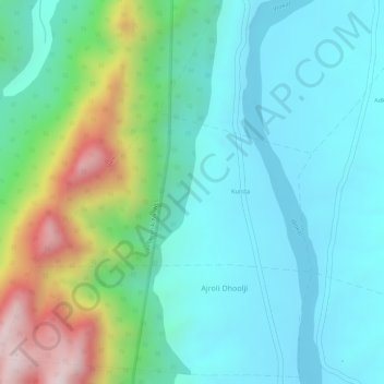
Name: Kunda topographic map, elevation, terrain.

Location: Kunda, Jhadol Tehsil, Udaipur District, Rajasthan, India (24.30437 73.28368 24.31558 73.30520)

Average elevation: 507 m

Minimum elevation: 379 m

Maximum elevation: 861 m

Other topographic maps

Click on a map to view its topography, its elevation and its terrain.

Sagpura

India > Rajasthan > Jhadol Tehsil

Average elevation: 536 m

Nawla

India > Rajasthan > Jhadol Tehsil

Average elevation: 585 m

Gear up for your next adventure:

🥾Trekking Poles - Adjustable trekking poles to reduce knee stress and improve stability
🛶Waterproof Dry Bags - Keep electronics and clothes dry during river crossings
🥾Trail Running Boots - Durable shoes designed for trail running
🪑Ultralight Camping Stool - Compact seating for rest stops during long hikes
🧦Hiking Socks - Moisture-wicking and comfortable socks for long hikes

As an Amazon Associate, this site earns from qualifying purchases at no extra cost to you.