
Viola topographic map
Click on the map to display elevation.
About this map
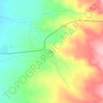
Name: Viola topographic map, elevation, terrain.
Location: Viola, Shasta County, California, United States (40.49794 -121.69776 40.53794 -121.65776)
Average elevation: 1,371 m
Minimum elevation: 1,277 m
Maximum elevation: 1,493 m
Other topographic maps
Click on a map to view its topography, its elevation and its terrain.