
Alder Flats topographic map
Click on the map to display elevation.
About this map
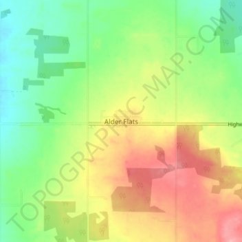
Name: Alder Flats topographic map, elevation, terrain.
Location: Alder Flats, County of Wetaskiwin, Alberta, Canada (52.91176 -114.97907 52.95176 -114.93907)
Average elevation: 935 m
Minimum elevation: 887 m
Maximum elevation: 996 m
County of Wetaskiwin trails, hiking, mountain biking, running and outdoor activities
Other topographic maps
Click on a map to view its topography, its elevation and its terrain.