
Hilda Lake topographic map
Interactive map
Click on the map to display elevation.
About this map
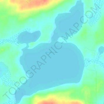
Name: Hilda Lake topographic map, elevation, terrain.
Average elevation: 555 m
Minimum elevation: 545 m
Maximum elevation: 593 m
Other topographic maps
Click on a map to view its topography, its elevation and its terrain.
Crane Lake
Canada > Alberta > Municipal District of Bonnyville > Happy Hollow
Crane Lake, Happy Hollow, Municipal District of Bonnyville, Alberta, Canada
Average elevation: 562 m
Bourque Lake
Canada > Alberta > Municipal District of Bonnyville
Bourque Lake, Municipal District of Bonnyville, Alberta, Canada
Average elevation: 617 m
Elizabeth Metis Settlement
Canada > Alberta > Municipal District of Bonnyville
Elizabeth Metis Settlement, Municipal District of Bonnyville, Alberta, Canada
Average elevation: 607 m