Geolocate

Ed topographic map

Click on the map to display elevation.

About this map

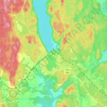
Name: Ed topographic map, elevation, terrain.

Location: Ed, Dals-Eds kommun, Västra Götaland County, 668 30, Sweden (58.87258 11.89401 58.95258 11.97401)

Average elevation: 155 m

Minimum elevation: 100 m

Maximum elevation: 235 m

Other topographic maps

Click on a map to view its topography, its elevation and its terrain.

43081

Sweden > Västra Götaland County > Gothenburg

Average elevation: 3 m

Nolån

Sweden > Västra Götaland County > Årred

Average elevation: 135 m

Falköping

Sweden > Västra Götaland County

Average elevation: 239 m

Gear up for your next adventure:

🕶️Polarized Sunglasses - Protect your eyes with durable polarized lenses
🛶Canoe Life Vest - Safety vest for water sports
🧴Insect Repellent - Protect yourself from bugs during outdoor adventures
🛶Kayak Accessories - Essential gear for safe and fun kayaking adventures
🪜Heavy Duty Carabiners - Multi-use clips for securing gear to your backpack

As an Amazon Associate, this site earns from qualifying purchases at no extra cost to you.