

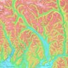
Kwawkwawapilt topographic map
Click on the map to display elevation.
About this map

Name: Kwawkwawapilt topographic map, elevation, terrain.
Average elevation: 13 m
Minimum elevation: 3 m
Maximum elevation: 191 m
Other topographic maps
Click on a map to view its topography, its elevation and its terrain.
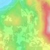
Ryder Lake
Canada > British Columbia > Fraser Valley Regional District > Chilliwack
Average elevation: 255 m

Hatzic Lake
Canada > British Columbia > Fraser Valley Regional District > Area G (Deroche/Dewdney/Sumas Mountain)
Average elevation: 43 m
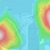
Harrison Hot Springs
Canada > British Columbia > Fraser Valley Regional District
Average elevation: 203 m
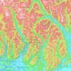
Area F (McConnell Creek/Hatzic Prairie)
Canada > British Columbia > Fraser Valley Regional District
Average elevation: 832 m
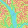
Harrison Lake
Canada > British Columbia > Fraser Valley Regional District > Area C (Sasquatch Country)
Average elevation: 815 m
Area C (Sasquatch Country)
Canada > British Columbia > Fraser Valley Regional District
Average elevation: 988 m