
Pojorâta topographic map
Click on the map to display elevation.
About this map
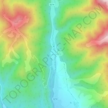
Name: Pojorâta topographic map, elevation, terrain.
Location: Pojorâta, Lerești, Argeș, 117431, Romania (45.33480 25.04339 45.37480 25.08339)
Average elevation: 928 m
Minimum elevation: 700 m
Maximum elevation: 1,324 m
Other topographic maps
Click on a map to view its topography, its elevation and its terrain.