Geolocate

Dronten topographic map

Click on the map to display elevation.

Dronten

Dutch Topographic map of Dronten (town), March 2014.

About this map

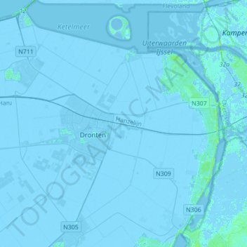
Name: Dronten topographic map, elevation, terrain.

Location: Dronten, Flevoland, Netherlands (52.45522 5.58806 52.60770 5.86450)

Average elevation: -3 m

Minimum elevation: -7 m

Maximum elevation: 8 m

Gear up for your next adventure:

🎒Hiking Daypack - Lightweight and durable backpacks for day trips and excursions
🧭Orienteering Kit - Tools for map reading and navigation in the wild
🧥Packable Rain Jacket - Breathable waterproof layer for unpredictable weather
🧥Softshell Jacket - Windproof and breathable jacket for hiking
💡LED Camping Lantern - Illuminate your campsite with long-lasting lanterns

As an Amazon Associate, this site earns from qualifying purchases at no extra cost to you.