
Danakil Depression topographic map
Interactive map
Click on the map to display elevation.
About this map
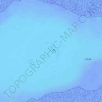
Name: Danakil Depression topographic map, elevation, terrain.
Location: Danakil Depression, Zone 2, Afar Region, Ethiopia (14.23950 40.29676 14.24444 40.30141)
Average elevation: -105 m
Minimum elevation: -124 m
Maximum elevation: -77 m
Other topographic maps
Click on a map to view its topography, its elevation and its terrain.
Yangudi Rassa National Park
Yangudi Rassa National Park, Afar Region, Ethiopia
Average elevation: 622 m
Name Not Known
Name Not Known, Zone 1, Afar Region, Ethiopia
Average elevation: 83 m