

Alto Pass topographic map
Click on the map to display elevation.
Alto Pass
The settlement developed as a railroad and agricultural shipping point. According to the Sundown Towns Database, Alto Pass was named because it was the highest elevation in Illinois traversed by a railroad, and by the turn of the 20th century the village had a post office, general stores, hotels, a blacksmith shop, a lumber yard, and other businesses serving the local fruit and vegetable trade.
About this map
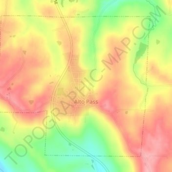
Name: Alto Pass topographic map, elevation, terrain.
Location: Alto Pass, Union County, Illinois, 62905, United States (37.56170 -89.33495 37.58383 -89.30490)
Average elevation: 214 m
Minimum elevation: 143 m
Maximum elevation: 262 m
Other topographic maps
Click on a map to view its topography, its elevation and its terrain.

