Geolocate

Turtle Bayou topographic map

Click on the map to display elevation.

About this map

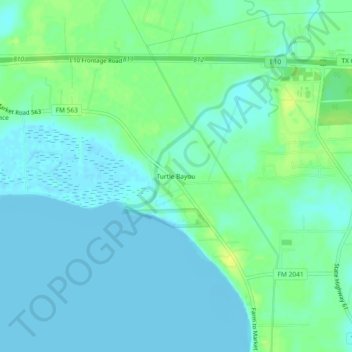
Name: Turtle Bayou topographic map, elevation, terrain.

Location: Turtle Bayou, Chambers County, Texas, 77597, United States (29.80717 -94.68742 29.84717 -94.64742)

Average elevation: 5 m

Minimum elevation: -5 m

Maximum elevation: 17 m

Other topographic maps

Click on a map to view its topography, its elevation and its terrain.

Anahuac

United States > Texas > Chambers County

Average elevation: 4 m

Anahuac

United States > Texas > Chambers County

Average elevation: 5 m

Mont Belvieu

United States > Texas > Chambers County

Average elevation: 12 m

Beach City

United States > Texas > Chambers County

Average elevation: 3 m

Mont Belvieu

United States > Texas > Chambers County

Average elevation: 12 m

Cove

United States > Texas > Chambers County

Average elevation: 8 m

Gear up for your next adventure:

🥾Hiking Boots - Sturdy boots providing ankle support and traction on rugged trails
Camping Tent - Weather-resistant tents suitable for 2 to 6 people
🔦LED Flashlight - Powerful and long-lasting flashlight for camping and emergencies
🧥Thermal Layer - Insulating layer for cold outdoor conditions
🥫Freeze-Dried Meals - Lightweight, high-calorie nutrition for multi-day treks

As an Amazon Associate, this site earns from qualifying purchases at no extra cost to you.