Geolocate

Beach City topographic map

Click on the map to display elevation.

About this map

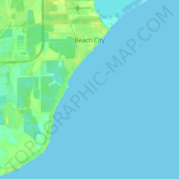
Name: Beach City topographic map, elevation, terrain.

Location: Beach City, Chambers County, Texas, United States (29.65557 -94.91622 29.76665 -94.82350)

Average elevation: 3 m

Minimum elevation: -1 m

Maximum elevation: 16 m

Other topographic maps

Click on a map to view its topography, its elevation and its terrain.

Turtle Bayou

United States > Texas > Chambers County

Average elevation: 5 m

Winnie

United States > Texas > Chambers County

Average elevation: 8 m

Gear up for your next adventure:

🧦Merino Wool Socks - Moisture-wicking comfort for long-distance hiking
🚲MTB Frame Bag - Carry tools and maps directly on your bicycle frame
🧥Thermal Layer - Insulating layer for cold outdoor conditions
🥾Trekking Boots - Durable boots for long-distance trekking
🍽️Titanium Camping Spork - Ultralight and indestructible eating utensil

As an Amazon Associate, this site earns from qualifying purchases at no extra cost to you.