Geolocate

Lessingham topographic map

Click on the map to display elevation.

About this map

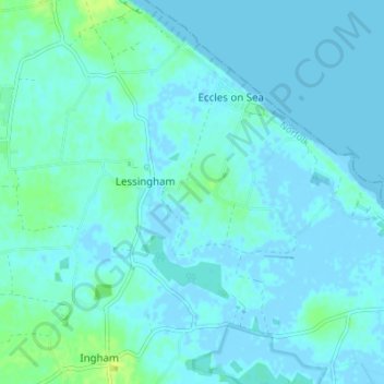
Name: Lessingham topographic map, elevation, terrain.

Location: Lessingham, North Norfolk, Norfolk, England, United Kingdom (52.78377 1.52365 52.81160 1.59231)

Average elevation: 3 m

Minimum elevation: -3 m

Maximum elevation: 14 m

Gear up for your next adventure:

🧭GPS Tracker - Track your location in remote areas safely
🔦LED Headtorch - Bright and durable light for night activities
🛶Canoe Life Vest - Safety vest for water sports
🧥Waterproof Hiking Jacket - Protect yourself from rain and wind while hiking
👟Trail Running Shoes - Agile footwear for fast-paced topographic exploration

As an Amazon Associate, this site earns from qualifying purchases at no extra cost to you.