Geolocate

Claresholm topographic map

Click on the map to display elevation.

About this map

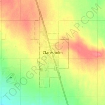
Name: Claresholm topographic map, elevation, terrain.

Location: Claresholm, Town of Claresholm, Alberta, T0L 0T0, Canada (49.98395 -113.62003 50.06395 -113.54003)

Average elevation: 1,031 m

Minimum elevation: 1,000 m

Maximum elevation: 1,061 m

Town of Claresholm trails, hiking, mountain biking, running and outdoor activities

Gear up for your next adventure:

🥾Lightweight Hiking Boots - Boots for comfort and mobility on long hikes
Bushcraft Tarp - Versatile emergency shelter or gear protection
🧭GPS Tracker - Track your location in remote areas safely
💡Compact LED Flashlight - Powerful and portable flashlight for outdoor use
🔦UV Flashlight - Detect minerals or specific insects in the dark

As an Amazon Associate, this site earns from qualifying purchases at no extra cost to you.