
Seeley Bay topographic map
Click on the map to display elevation.
About this map
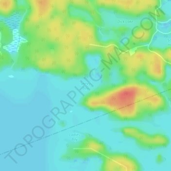
Name: Seeley Bay topographic map, elevation, terrain.
Average elevation: 238 m
Minimum elevation: 223 m
Maximum elevation: 272 m
Parry Sound District trails, hiking, mountain biking, running and outdoor activities
Other topographic maps
Click on a map to view its topography, its elevation and its terrain.
Diamond Lake
Canada > Ontario > Parry Sound District > Seguin Township > Orrville
Average elevation: 273 m
Oastler Lake Provincial Park
Canada > Ontario > Parry Sound District > Seguin Township
Average elevation: 218 m