Geolocate

Cherhill topographic map

Click on the map to display elevation.

About this map

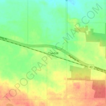
Name: Cherhill topographic map, elevation, terrain.

Location: Cherhill, Lac Ste. Anne County, Alberta, Canada (53.80009 -114.69999 53.84009 -114.65999)

Average elevation: 727 m

Minimum elevation: 704 m

Maximum elevation: 753 m

Lac Ste. Anne County trails, hiking, mountain biking, running and outdoor activities

Gear up for your next adventure:

🔭Compact Binoculars - Lightweight optics for scouting trails and wildlife
🛶Kayak Accessories - Essential gear for safe and fun kayaking adventures
🥽Outdoor Goggles - Protective eyewear for outdoor activities
🧥Ultralight Puffy Jacket - Maximum warmth that packs down to the size of an orange
🌬️Windproof Camp Stove - Efficient cooking even on exposed mountain peaks

As an Amazon Associate, this site earns from qualifying purchases at no extra cost to you.