Geolocate

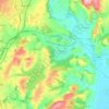
Caerwent topographic map

Click on the map to display elevation.

About this map
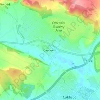
Name: Caerwent topographic map, elevation, terrain.

Location: Caerwent, Monmouthshire, Wales, NP26 5JJ, United Kingdom (51.59006 -2.78431 51.63006 -2.74431)

Average elevation: 38 m

Minimum elevation: 2 m

Maximum elevation: 125 m

Other topographic maps

Click on a map to view its topography, its elevation and its terrain.
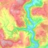
Llanbadoc

United Kingdom > Wales > Monmouthshire

Average elevation: 78 m

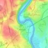
Wye Valley

United Kingdom > Wales > Monmouthshire

Average elevation: 167 m

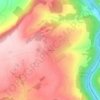
Penallt

United Kingdom > Wales > Monmouthshire

Average elevation: 174 m

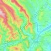
Crucorney

United Kingdom > Wales > Monmouthshire

Average elevation: 297 m

Blorenge

United Kingdom > Wales > Monmouthshire > Govilon

Average elevation: 394 m

River Monnow

United Kingdom > Wales > Monmouthshire

Average elevation: 172 m

River Monnow

United Kingdom > Wales > Monmouthshire

Average elevation: 172 m

Raglan Castle

United Kingdom > Wales > Monmouthshire > Raglan

Average elevation: 59 m

Gear up for your next adventure:

🕶️Polarized Sunglasses - Protect your eyes with durable polarized lenses
🚲Bike Repair Kit - Essential tools for on-trail mechanical issues
⛺Camping Tent - Weather-resistant tents suitable for 2 to 6 people
🧣Evaporative Cooling Towel - Beat the heat during intense summer climbs
🚲Heavy Duty Bike Lock - Secure your bike at the trailhead or during stops

As an Amazon Associate, this site earns from qualifying purchases at no extra cost to you.