Geolocate

Crockenhill topographic map

Click on the map to display elevation.

About this map
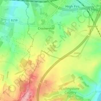
Name: Crockenhill topographic map, elevation, terrain.

Location: Crockenhill, Sevenoaks, Kent, England, United Kingdom (51.35448 0.14519 51.39280 0.19052)

Average elevation: 96 m

Minimum elevation: 47 m

Maximum elevation: 167 m

Gear up for your next adventure:

🌡️Emergency Mylar Blankets - Compact thermal protection for unexpected nights outdoors
🧦Merino Wool Socks - Moisture-wicking comfort for long-distance hiking
🥾Hiking Shorts - Breathable shorts suitable for summer hikes
🔦UV Flashlight - Detect minerals or specific insects in the dark
🔨Vehicle Emergency Tool - Safety tool for remote road trips to trailheads

As an Amazon Associate, this site earns from qualifying purchases at no extra cost to you.