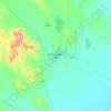
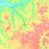
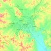
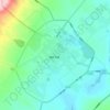
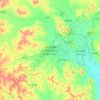
Hailar District topographic map
Click on the map to display elevation.
Hailar District
Hailar is located in close proximity to the Greater Xing'an Mountains, and has an elevation ranging from 603.0 to 776.6 m (1,978.3 to 2,547.9 ft). Of the city's 1,319.8 square kilometers, 28 square kilometers (or 2.12%) of the district is urban.
About this map
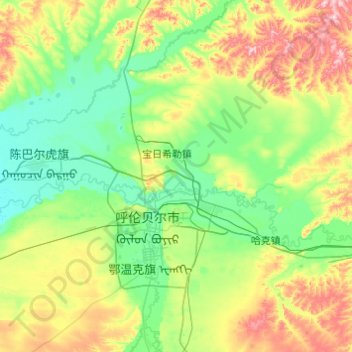
Name: Hailar District topographic map, elevation, terrain.
Location: Hailar District, Hulunbuir, Inner Mongolia, 021000, China (49.09562 119.59498 49.50999 120.56991)
Average elevation: 670 m
Minimum elevation: 592 m
Maximum elevation: 916 m
Other topographic maps
Click on a map to view its topography, its elevation and its terrain.


The Best View of North
China > Inner Mongolia > Hexigten Banner > Zhirui > Toudaogoumen
Average elevation: 1,600 m






Horqin Right Front Banner
China > Inner Mongolia > Horqin Right Front Banner > Ke'erqin
Average elevation: 348 m