Geolocate

Ulaan topographic map

Click on the map to display elevation.

About this map

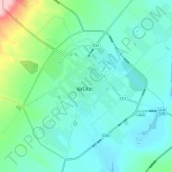
Name: Ulaan topographic map, elevation, terrain.

Location: Ulaan, 乌兰镇, Otog Banner, Ordos City, Inner Mongolia, China (39.05381 107.93835 39.13381 108.01835)

Average elevation: 1,386 m

Minimum elevation: 1,348 m

Maximum elevation: 1,544 m

Gear up for your next adventure:

🧭GPS Outdoor Watch - Smart watch for navigation and fitness tracking in nature
🥾Hiking Boots - Sturdy boots providing ankle support and traction on rugged trails
🛶Waterproof Dry Bags - Keep electronics and clothes dry during river crossings
🥾Light Hiking Boots - Lightweight and comfortable boots for day hikes
🔭Compact Monocular - One-handed bird watching and trail spotting

As an Amazon Associate, this site earns from qualifying purchases at no extra cost to you.