
Tidworth topographic map
Click on the map to display elevation.
About this map
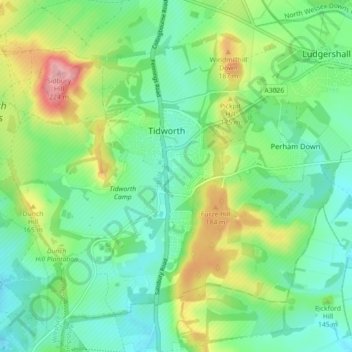
Name: Tidworth topographic map, elevation, terrain.
Location: Tidworth, Wiltshire, England, United Kingdom (51.21477 -1.70567 51.26011 -1.61649)
Average elevation: 136 m
Minimum elevation: 95 m
Maximum elevation: 226 m