Geolocate

Podington topographic map

Click on the map to display elevation.

About this map

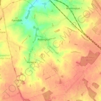
Name: Podington topographic map, elevation, terrain.

Location: Podington, Bedford, England, United Kingdom (52.22716 -0.65367 52.27246 -0.58331)

Average elevation: 90 m

Minimum elevation: 51 m

Maximum elevation: 112 m

Gear up for your next adventure:

🥾Trail Running Boots - Durable shoes designed for trail running
🛰️Satellite Messenger - Emergency communication for areas with no cell service
🛶Kayak Dry Bag - Waterproof storage for kayaking adventures
🥾Hiking Boots - Sturdy boots providing ankle support and traction on rugged trails
🧶550 Survival Paracord - Versatile utility cord for emergency repairs and rigging

As an Amazon Associate, this site earns from qualifying purchases at no extra cost to you.