Geolocate

Pine Grove topographic map

Click on the map to display elevation.

About this map

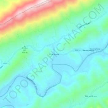
Name: Pine Grove topographic map, elevation, terrain.

Location: Pine Grove, Washington County, Virginia, 24270, United States (36.70260 -82.28792 36.74260 -82.24792)

Average elevation: 532 m

Minimum elevation: 409 m

Maximum elevation: 922 m

Other topographic maps

Click on a map to view its topography, its elevation and its terrain.

Glade Spring

United States > Virginia > Washington County

The elevation is 2,087 ft above sea level.

Average elevation: 658 m

Gear up for your next adventure:

🥾Trail Running Boots - Durable shoes designed for trail running
👟Trail Running Shoes - Agile footwear for fast-paced topographic exploration
🦶Anti-Blister Balm - Prevents friction and hotspots during long ascents
🧤Insulated Winter Gloves - Heavy-duty protection for sub-zero Canadian adventures
🧭GPS Tracker - Track your location in remote areas safely

As an Amazon Associate, this site earns from qualifying purchases at no extra cost to you.