
Jabal Nur topographic map
Interactive map
Click on the map to display elevation.
About this map
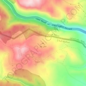
Name: Jabal Nur topographic map, elevation, terrain.
Location: Jabal Nur, Qada Rashayya, Gouvernorat de Beqaa, Liban (33.61662 35.99995 33.61672 36.00005)
Average elevation: 1,364 m
Minimum elevation: 1,180 m
Maximum elevation: 1,507 m
Other topographic maps
Click on a map to view its topography, its elevation and its terrain.
Dahr El Ahmar
Liban > Qada Rashayya > Dahr El Ahmar
Dahr El Ahmar, Qada Rashayya, Gouvernorat de Beqaa, Liban
Average elevation: 1,049 m
Jabal Madar az Zayyat
Jabal Madar az Zayyat, Qada Rashayya, Gouvernorat de Beqaa, Liban
Average elevation: 1,439 m