
Dahr El Ahmar topographic map
Interactive map
Click on the map to display elevation.
About this map
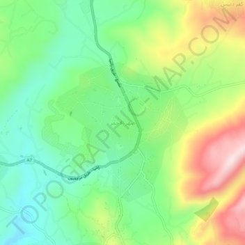
Name: Dahr El Ahmar topographic map, elevation, terrain.
Location: Dahr El Ahmar, Qada Rashayya, Gouvernorat de Beqaa, Liban (33.50830 35.81075 33.54830 35.85075)
Average elevation: 1,049 m
Minimum elevation: 902 m
Maximum elevation: 1,298 m