Geolocate

Las Navas topographic map

Click on the map to display elevation.

About this map

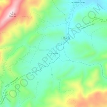
Name: Las Navas topographic map, elevation, terrain.

Location: Las Navas, Priego de Córdoba, Córdoba, Andalusia, Spain (37.37100 -4.12518 37.41100 -4.08518)

Average elevation: 926 m

Minimum elevation: 762 m

Maximum elevation: 1,280 m

Gear up for your next adventure:

🥾Light Hiking Boots - Lightweight and comfortable boots for day hikes
🛌Down Sleeping Bag - Superior warmth-to-weight ratio for cold nights
🕶️Polarized Sunglasses - Reduces glare from snow and water at high elevations
🍽️Titanium Camping Spork - Ultralight and indestructible eating utensil
🛶Waterproof Dry Bags - Keep electronics and clothes dry during river crossings

As an Amazon Associate, this site earns from qualifying purchases at no extra cost to you.