
Stand Off topographic map
Click on the map to display elevation.
About this map
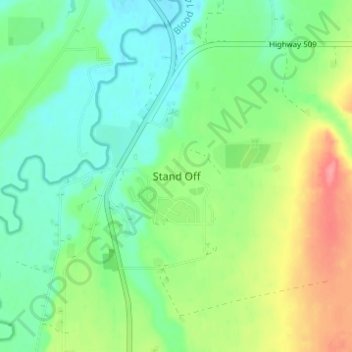
Name: Stand Off topographic map, elevation, terrain.
Location: Stand Off, Division No. 3, Alberta, Canada (49.44171 -113.32009 49.48171 -113.28009)
Average elevation: 1,012 m
Minimum elevation: 984 m
Maximum elevation: 1,064 m
Division No. 3 trails, hiking, mountain biking, running and outdoor activities
Other topographic maps
Click on a map to view its topography, its elevation and its terrain.
St. Mary Reservoir Provincial Recreation Area
Canada > Alberta > Division No. 3
Average elevation: 1,101 m