Geolocate

Mavisdale topographic map

Click on the map to display elevation.

About this map

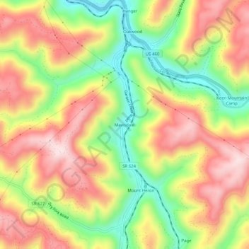
Name: Mavisdale topographic map, elevation, terrain.

Location: Mavisdale, Buchanan County, Virginia, 24631, United States (37.17844 -82.02791 37.21844 -81.98791)

Average elevation: 578 m

Minimum elevation: 389 m

Maximum elevation: 747 m

Other topographic maps

Click on a map to view its topography, its elevation and its terrain.

Vansant

United States > Virginia > Buchanan County

Average elevation: 547 m

Gear up for your next adventure:

🧦Merino Wool Socks - Moisture-wicking comfort for long-distance hiking
Bushcraft Tarp - Versatile emergency shelter or gear protection
🚲MTB Frame Bag - Carry tools and maps directly on your bicycle frame
🌡️Emergency Mylar Blankets - Compact thermal protection for unexpected nights outdoors
🧴Insect Repellent - Protect yourself from bugs during outdoor adventures

As an Amazon Associate, this site earns from qualifying purchases at no extra cost to you.