Geolocate

Spring Valley topographic map

Click on the map to display elevation.

About this map

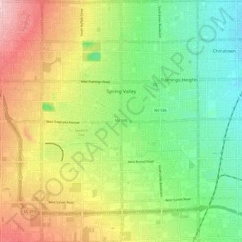
Name: Spring Valley topographic map, elevation, terrain.

Location: Spring Valley, Clark County, Nevada, United States (36.02796 -115.31578 36.14453 -115.20788)

Average elevation: 777 m

Minimum elevation: 656 m

Maximum elevation: 1,070 m

Gear up for your next adventure:

🚑Survival Whistle - Signal for help across long distances in mountains
🧦Hiking Liner Socks - Thin base layer to prevent friction and blisters
🏕️Camping Hammock - Integrated protection for sleeping between trees
🥽Outdoor Goggles - Protective eyewear for outdoor activities
🦯Trekking Poles - Reduced impact on joints for steep topographic climbs

As an Amazon Associate, this site earns from qualifying purchases at no extra cost to you.