
Tasnad topographic map
Click on the map to display elevation.
About this map
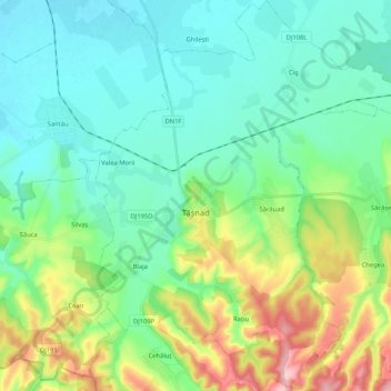
Name: Tasnad topographic map, elevation, terrain.
Location: Tasnad, Satu Mare, Romania (47.41336 22.53128 47.55486 22.69060)
Average elevation: 162 m
Minimum elevation: 117 m
Maximum elevation: 290 m
Other topographic maps
Click on a map to view its topography, its elevation and its terrain.