Geolocate

Hawthorne topographic map

Click on the map to display elevation.

About this map

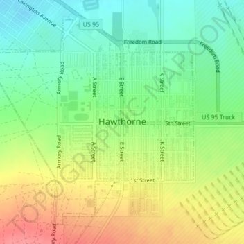
Name: Hawthorne topographic map, elevation, terrain.

Location: Hawthorne, Mineral County, Nevada, 89415, United States (38.51329 -118.64434 38.53648 -118.61449)

Average elevation: 1,322 m

Minimum elevation: 1,288 m

Maximum elevation: 1,366 m

Other topographic maps

Click on a map to view its topography, its elevation and its terrain.

Walker Lake

United States > Nevada > Mineral County > Schurz

Average elevation: 1,531 m

Gear up for your next adventure:

🥾Mountain Trail Shoes - High-traction shoes for mountain trails
🔋Lithium AA Batteries - Long-lasting power that performs in extreme cold
🥾Mountaineering Boots - Supportive boots for climbing and high-altitude hiking
🔨Vehicle Emergency Tool - Safety tool for remote road trips to trailheads
🚲MTB Frame Bag - Carry tools and maps directly on your bicycle frame

As an Amazon Associate, this site earns from qualifying purchases at no extra cost to you.