
Schurz topographic map
Interactive map
Click on the map to display elevation.
About this map
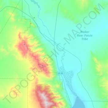
Name: Schurz topographic map, elevation, terrain.
Location: Schurz, Mineral County, Nevada, 89427, United States (38.77130 -118.91184 39.06341 -118.67316)
Average elevation: 1,531 m
Minimum elevation: 1,203 m
Maximum elevation: 2,795 m
Other topographic maps
Click on a map to view its topography, its elevation and its terrain.
Hawthorne
United States > Nevada > Mineral County
Hawthorne, Mineral County, Nevada, 89415, United States
Average elevation: 1,322 m