Geolocate

Lacasmayo topographic map

Click on the map to display elevation.

About this map

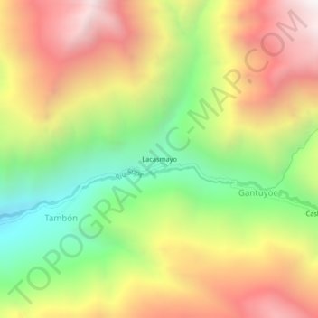
Name: Lacasmayo topographic map, elevation, terrain.

Location: Lacasmayo, Gantuyoc, Ámbar, Province of Huaura, Lima, Peru (-10.74187 -77.17663 -10.70187 -77.13663)

Average elevation: 3,931 m

Minimum elevation: 3,161 m

Maximum elevation: 4,726 m

Gear up for your next adventure:

🩹Moleskin Blister Pads - Direct protection for painful foot pressure points
🔭Outdoor Binoculars - Lightweight binoculars for birdwatching and hiking
🥾Waterproof Trail Shoes - Shoes designed to handle wet terrain
🥾Durable Hiking Shoes - Long-lasting shoes for frequent hiking
🥾Trail Hiking Boots - Supportive boots for rough trails

As an Amazon Associate, this site earns from qualifying purchases at no extra cost to you.