Geolocate

Osage Beach topographic map

Click on the map to display elevation.

About this map

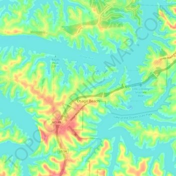
Name: Osage Beach topographic map, elevation, terrain.

Location: Osage Beach, Camden County, Missouri, 65056, United States (38.09139 -92.69378 38.17273 -92.58710)

Average elevation: 220 m

Minimum elevation: 197 m

Maximum elevation: 275 m

Other topographic maps

Click on a map to view its topography, its elevation and its terrain.

Roach

United States > Missouri > Camden County

Average elevation: 263 m

Wet Glaize

United States > Missouri > Camden County

Average elevation: 274 m

Damsel

United States > Missouri > Camden County > Osage Beach

Average elevation: 231 m

Gear up for your next adventure:

🕶️Polarized Sunglasses - Protect your eyes with durable polarized lenses
🥾Mountain Hiking Shoes - Shoes with superior grip for mountainous terrain
🔭Compact Monocular - One-handed bird watching and trail spotting
🧴Bear Spray Holster - Quick-access carry for essential Canadian wilderness safety
🌬️Windproof Camp Stove - Efficient cooking even on exposed mountain peaks

As an Amazon Associate, this site earns from qualifying purchases at no extra cost to you.