Geolocate

Damsel topographic map

Click on the map to display elevation.

About this map

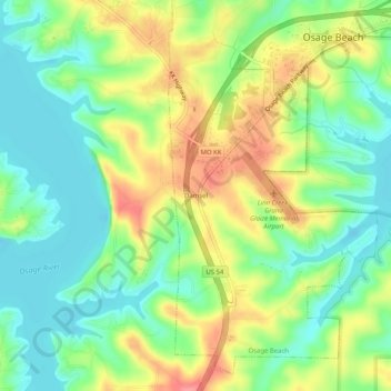
Name: Damsel topographic map, elevation, terrain.

Location: Damsel, Osage Beach, Camden County, Missouri, United States (38.08976 -92.71019 38.12976 -92.67019)

Average elevation: 231 m

Minimum elevation: 199 m

Maximum elevation: 278 m

Gear up for your next adventure:

🧭GPS Handheld Device - Reliable GPS navigation for outdoor adventures
🥾Waterproof Hiking Shoes - Durable shoes for wet and rugged trails
🥾Mountain Trail Shoes - High-traction shoes for mountain trails
🕶️Polarized Sunglasses - Reduces glare from snow and water at high elevations
Backpacking Tent - Lightweight tent for long-distance hiking trips

As an Amazon Associate, this site earns from qualifying purchases at no extra cost to you.