
Valentine topographic map
Click on the map to display elevation.
About this map
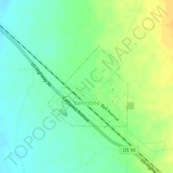
Name: Valentine topographic map, elevation, terrain.
Location: Valentine, Jeff Davis County, Texas, United States (30.58363 -104.50376 30.59614 -104.48909)
Average elevation: 1,352 m
Minimum elevation: 1,340 m
Maximum elevation: 1,366 m
Other topographic maps
Click on a map to view its topography, its elevation and its terrain.
Fort Davis
United States > Texas > Jeff Davis County
Fort Davis has the highest elevation above sea level of any county seat in Texas; the elevation is 4,900 feet (1,500 m).
Average elevation: 1,526 m