Geolocate

Morfa Harlech topographic map

Click on the map to display elevation.

About this map

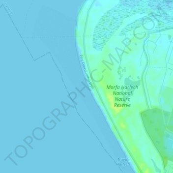
Name: Morfa Harlech topographic map, elevation, terrain.

Location: Morfa Harlech, Harlech, Gwynedd, Wales, LL49 9UG, United Kingdom (52.88072 -4.14424 52.88082 -4.14414)

Average elevation: 2 m

Minimum elevation: 0 m

Maximum elevation: 15 m

Other topographic maps

Click on a map to view its topography, its elevation and its terrain.

Hafod-y-llyn

United Kingdom > Wales > Gwynedd > Harlech

Average elevation: 135 m

Gear up for your next adventure:

🧥Fleece Jacket - Warm and lightweight jacket for layering
🥾Hiking Shorts - Breathable shorts suitable for summer hikes
🧦Crew Hiking Socks - Comfortable socks for long-distance hikes
🧭GPS Handheld Device - Reliable GPS navigation for outdoor adventures
🚲Heavy Duty Bike Lock - Secure your bike at the trailhead or during stops

As an Amazon Associate, this site earns from qualifying purchases at no extra cost to you.