
Hønefoss topographic map
Click on the map to display elevation.
About this map
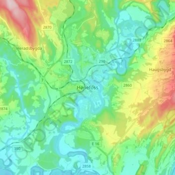
Name: Hønefoss topographic map, elevation, terrain.
Location: Hønefoss, Ringerike, Buskerud, 3510, Norway (60.12621 10.21549 60.20621 10.29549)
Average elevation: 132 m
Minimum elevation: 60 m
Maximum elevation: 333 m
Other topographic maps
Click on a map to view its topography, its elevation and its terrain.