Geolocate

Westwell topographic map

Click on the map to display elevation.

About this map

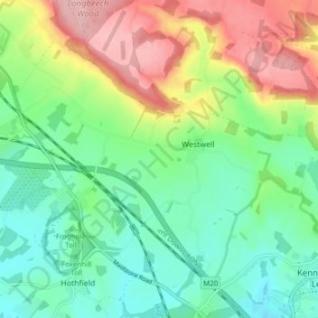
Name: Westwell topographic map, elevation, terrain.

Location: Westwell, Ashford, Kent, England, United Kingdom (51.16611 0.80953 51.21375 0.86764)

Average elevation: 98 m

Minimum elevation: 43 m

Maximum elevation: 195 m

Gear up for your next adventure:

🧦Crew Hiking Socks - Comfortable socks for long-distance hikes
🥾Durable Hiking Shoes - Long-lasting shoes for frequent hiking
🎒Backpack Rain Cover - External shield to keep your entire pack dry
🦶Anti-Blister Balm - Prevents friction and hotspots during long ascents
👟Trail Running Shoes - Agile footwear for fast-paced topographic exploration

As an Amazon Associate, this site earns from qualifying purchases at no extra cost to you.