
Cusseta topographic map
Click on the map to display elevation.
About this map
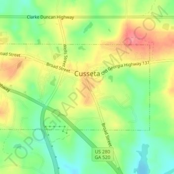
Name: Cusseta topographic map, elevation, terrain.
Location: Cusseta, Chattahoochee County, Georgia, United States (32.29659 -84.79168 32.31001 -84.76123)
Average elevation: 143 m
Minimum elevation: 103 m
Maximum elevation: 190 m
Other topographic maps
Click on a map to view its topography, its elevation and its terrain.
Dykes Pond
United States > Georgia > Chattahoochee County > Chattahoochee County
Average elevation: 124 m