Geolocate

Rocky Ford topographic map

Click on the map to display elevation.

About this map

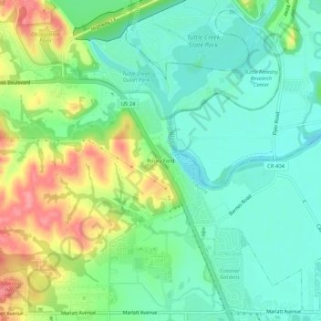
Name: Rocky Ford topographic map, elevation, terrain.

Location: Rocky Ford, Riley County, Kansas, 66502, United States (39.21750 -96.60973 39.25750 -96.56973)

Average elevation: 331 m

Minimum elevation: 300 m

Maximum elevation: 391 m

Other topographic maps

Click on a map to view its topography, its elevation and its terrain.

Manhattan

United States > Kansas > Riley County

Average elevation: 344 m

Manhattan

United States > Kansas > Riley County

Average elevation: 344 m

Manhattan

United States > Kansas > Riley County

Average elevation: 344 m

Gear up for your next adventure:

🦯Trekking Poles - Reduced impact on joints for steep topographic climbs
🧰Emergency Multi-Tool - Compact multi-tool for outdoor survival
🧴Waterproofing Spray - Restore the DWR coating on jackets and tents
🧴Insect Repellent - Protect yourself from bugs during outdoor adventures
🥾Mountain Trail Shoes - High-traction shoes for mountain trails

As an Amazon Associate, this site earns from qualifying purchases at no extra cost to you.