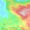
Anamudi topographic map
Click on the map to display elevation.
Anamudi
Anamudi ("Elephant head") is a mountain located in Ernakulam district and Idukki district of the Indian state of Kerala. With an elevation of 2,695 metres (8,842 ft) and a topographic prominence of 2,479 metres (8,133 ft), it is the highest peak in the Western Ghats and in South India.
About this map
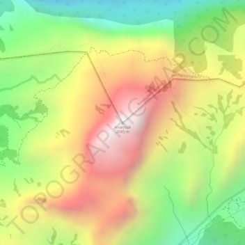
Name: Anamudi topographic map, elevation, terrain.
Location: Anamudi, Devikulam, Idukki, Kerala, 685614, India (10.16997 77.06162 10.17007 77.06172)
Average elevation: 2,204 m
Minimum elevation: 1,662 m
Maximum elevation: 2,685 m
Other topographic maps
Click on a map to view its topography, its elevation and its terrain.