Geolocate

Robin Wood topographic map

Click on the map to display elevation.

About this map

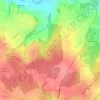
Name: Robin Wood topographic map, elevation, terrain.

Location: Robin Wood, Stanton by Bridge CP, South Derbyshire, Derbyshire, England, United Kingdom (52.81968 -1.48181 52.83418 -1.46209)

Average elevation: 92 m

Minimum elevation: 35 m

Maximum elevation: 128 m

Other topographic maps

Click on a map to view its topography, its elevation and its terrain.

Gear up for your next adventure:

🛌Insulated Sleeping Pad - Critical thermal barrier between you and the cold ground
🧭GPS Handheld Device - Reliable GPS navigation for outdoor adventures
🧭GPS Outdoor Watch - Smart watch for navigation and fitness tracking in nature
🔦UV Flashlight - Detect minerals or specific insects in the dark
🧴Waterproofing Spray - Restore the DWR coating on jackets and tents

As an Amazon Associate, this site earns from qualifying purchases at no extra cost to you.