
Jefferson topographic map
Click on the map to display elevation.
Jefferson
Jefferson's elevation is 797 ft (243 m) at the center of downtown.
About this map
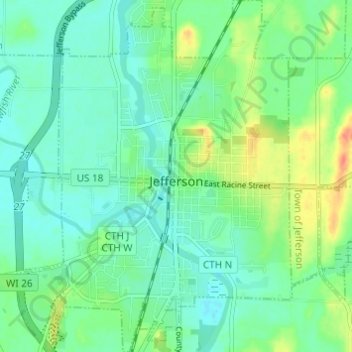
Name: Jefferson topographic map, elevation, terrain.
Location: Jefferson, Jefferson County, Wisconsin, 53549, United States (42.98380 -88.83506 43.02834 -88.77636)
Average elevation: 251 m
Minimum elevation: 236 m
Maximum elevation: 285 m
Other topographic maps
Click on a map to view its topography, its elevation and its terrain.
Aztalan State Park
United States > Wisconsin > Jefferson County > Town of Aztalan
Average elevation: 255 m