
Figueiredo topographic map
Interactive map
Click on the map to display elevation.
About this map
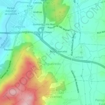
Name: Figueiredo topographic map, elevation, terrain.
Location: Figueiredo, Braga, 4705-719, Portugal (41.49297 -8.45580 41.51227 -8.43213)
Average elevation: 184 m
Minimum elevation: 119 m
Maximum elevation: 337 m
Other topographic maps
Click on a map to view its topography, its elevation and its terrain.