Geolocate

Calistoga topographic map

Click on the map to display elevation.

About this map

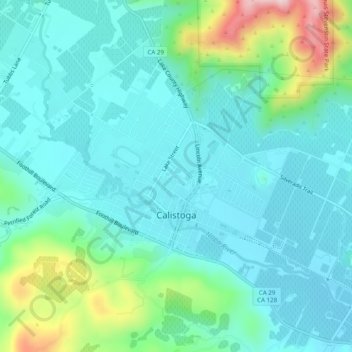
Name: Calistoga topographic map, elevation, terrain.

Location: Calistoga, Napa County, California, 94515, United States (38.56792 -122.60402 38.59807 -122.55484)

Average elevation: 160 m

Minimum elevation: 95 m

Maximum elevation: 406 m

Other topographic maps

Click on a map to view its topography, its elevation and its terrain.

Oakville

United States > California > Napa County

Average elevation: 61 m

Lake Berryessa

United States > California > Napa County

Average elevation: 322 m

Gear up for your next adventure:

🩹Moleskin Blister Pads - Direct protection for painful foot pressure points
🧢Sun Hat - Wide-brim hat for sun protection
🎒Hiking Backpack - Lightweight and ergonomic backpacks for day hikes or multi-day treks
🥾Trekking Boots - Durable boots for long-distance trekking
💧Filtered Water Bottle - Safe drinking water on the go

As an Amazon Associate, this site earns from qualifying purchases at no extra cost to you.