
Hausen im Tal topographic map
Interactive map
Click on the map to display elevation.
About this map
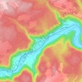
Name: Hausen im Tal topographic map, elevation, terrain.
Average elevation: 751 m
Minimum elevation: 587 m
Maximum elevation: 853 m
Other topographic maps
Click on a map to view its topography, its elevation and its terrain.
Beuron
Deutschland > Baden-Württemberg > Landkreis Sigmaringen > Beuron
Beuron, Gemeindeverwaltungsverband Sigmaringen, Landkreis Sigmaringen, Baden-Württemberg, Deutschland
Average elevation: 745 m