
Village of Halkirk topographic map
Interactive map
Click on the map to display elevation.
About this map
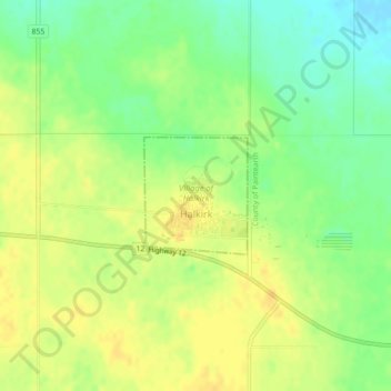
Name: Village of Halkirk topographic map, elevation, terrain.
Location: Village of Halkirk, Alberta, T0C 1M0, Canada (52.28042 -112.15966 52.28853 -112.14801)
Average elevation: 829 m
Minimum elevation: 813 m
Maximum elevation: 840 m